How Live Vehicle Location Data Helps Dispatchers Match Trucks With Loads and Cut Unused Distance
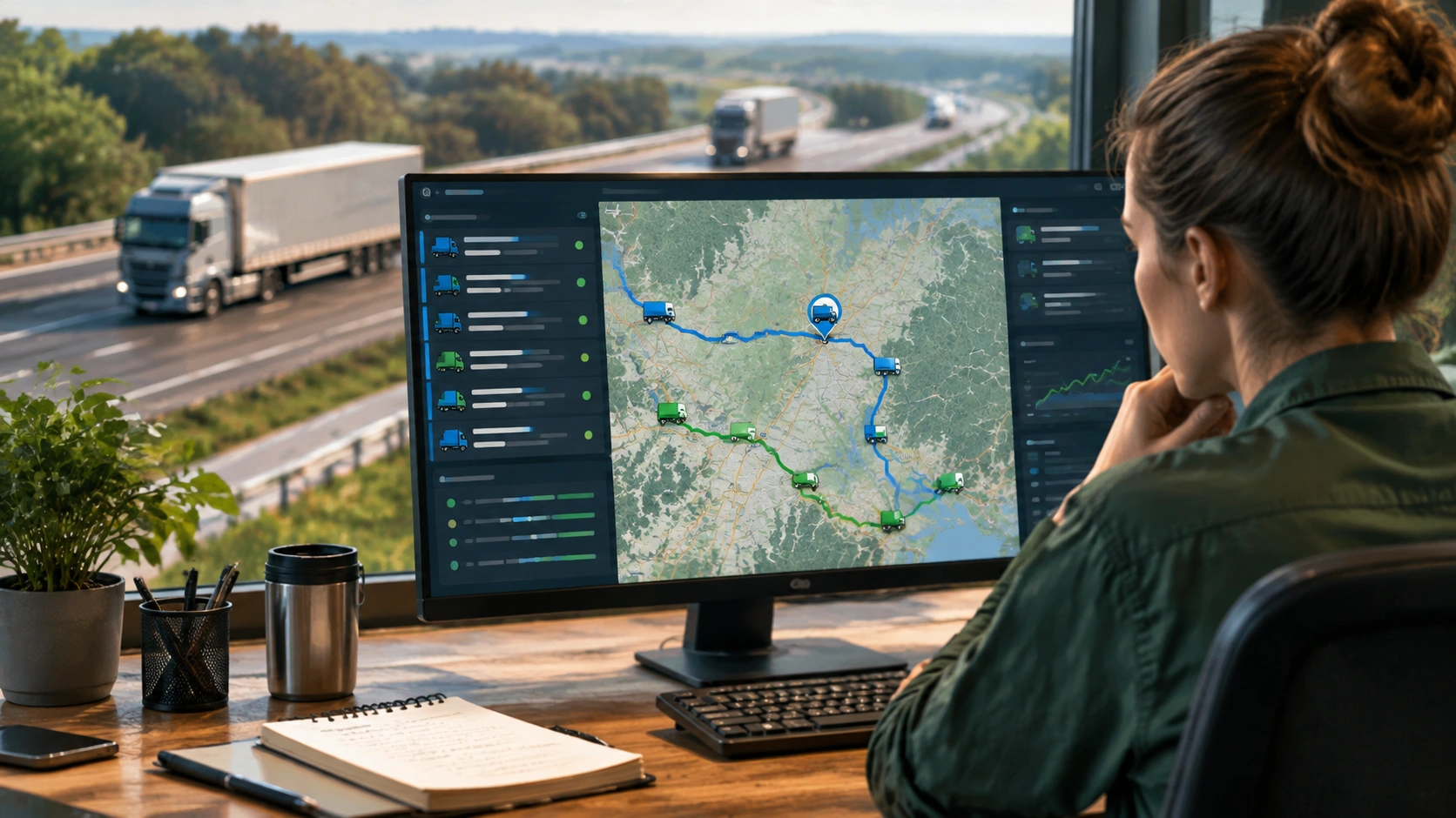
In freight, the shortest path between two loads is rarely a straight line on a map. It depends on where trucks actually are, where they are heading next, how long they can legally drive, and what equipment is available. Live vehicle location data gives dispatchers a continuously updated picture of their fleet, which makes it possible to match trucks with loads before a driver finishes the current trip. That single shift in timing is one of the most practical ways to reduce empty truck miles and improve asset utilization.
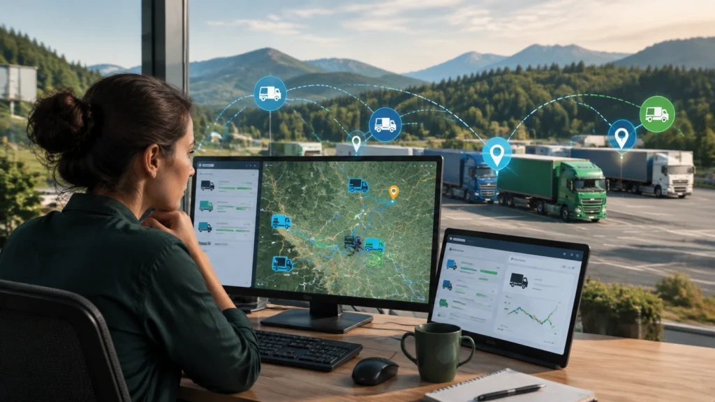
When people ask how does GPS tracking help reduce empty truck miles, the simplest answer is visibility. A GPS unit transmits a truck’s position, heading, and estimated arrival time to a dispatch system. With that information, planners can search for nearby freight, reassign pickups, or adjust routes so the truck moves from one revenue load to the next with minimal deadhead. Instead of guessing where a truck will be, dispatchers work from live data and make decisions while the truck is still moving.
Why empty miles happen in the first place
Empty miles are not always the result of poor planning. Many come from the normal structure of freight networks. Shippers and consignees are not evenly distributed, lanes are imbalanced, and some regions produce more outbound freight than inbound freight. Drivers also face hours-of-service limits, pickup and delivery windows, and equipment constraints. Without real-time location data, dispatchers often assign the next load based on a truck’s last known position, which may already be outdated. That lag creates unnecessary repositioning.
Other common causes include late load tenders, short notice from brokers, and poor visibility into where trucks will be after detention or unloading delays. Each of these issues increases the chance that a truck will move empty simply because the system did not know where the truck would be when a new load became available.
What live location data actually provides
A modern telematics setup does more than show a dot on a map. It typically provides:
- Current position and heading, updated every few seconds or minutes depending on configuration.
- Estimated time of arrival at the next stop, based on live traffic and route conditions.
- Remaining driving hours for the driver, derived from electronic logging device data.
- Equipment status, such as whether a trailer is loaded or empty, and in some cases trailer temperature or door status.
- Geofence events that show arrival, departure, and dwell time at shipper or receiver facilities.
Together, these signals allow a dispatcher to plan the next move while the current load is still in transit, not after it is already unloaded.
From visibility to load matching
Live location data changes load matching in several concrete ways. First, it lets dispatchers search for freight near a truck’s future position, not just its current position. A truck that is two hours from delivery may be a strong candidate for a pickup 30 miles from the receiver. Without ETA-based search, that opportunity would be invisible until after unloading.
Second, it helps reduce deadhead by improving the timing of tendering. If a dispatcher knows a truck will be free at 2:15 p.m. 10 miles from an industrial park, they can target loads that pick up in that window. This avoids sending the truck back to a yard or to a distant load board result that adds unnecessary miles.
Third, it allows better use of backhaul lanes. Many lanes have a strong primary direction and a weaker return direction. Live visibility helps identify return loads earlier, which makes it easier to fill those lanes at acceptable rates rather than driving empty back to the next origin.
Fourth, it supports better decisions about driver relay or team handoff. If one driver is running low on hours near a busy freight corridor, a dispatcher can plan a transfer or reassign the next load to a nearby driver with more available time.
Practical techniques dispatchers use
Dispatchers who work with live GPS data often combine several techniques to cut unused distance:
- ETA-based load search: Search for loads within a set radius of a truck’s projected post-delivery position and time.
- Geofenced alerts: Trigger a workflow when a truck enters a delivery zone, so planning starts before the trailer is dropped.
- Detention monitoring: Identify long dwell times early and adjust the next load assignment before the truck is stuck waiting.
- Trailer pool tracking: Match available empty trailers to nearby loads, reducing the need to reposition equipment.
- Lane imbalance reporting: Use historical and live data to see which regions regularly produce more outbound freight, then prioritize backhaul sourcing there.
These practices are most effective when the dispatch team has a single source of truth for truck status. If location, hours, and equipment data sit in different systems, the matching process slows down and opportunities are lost.
How empty miles are measured and reduced
To manage empty miles, fleets usually track a few core metrics:
- Empty mile percentage: The share of total miles driven without a revenue load.
- Deadhead distance per load: The average miles driven between delivery and next pickup.
- Time to next load: How long a truck sits idle after unloading before starting a new load.
- Cost per loaded mile versus cost per empty mile: The financial impact of repositioning on overall operating cost.
Live GPS data helps reduce these numbers by narrowing the search radius for the next load, shortening decision time, and giving planners earlier signals. Even a small reduction in average deadhead distance can translate into meaningful savings when applied across a fleet. For example, cutting 20 empty miles per load across hundreds of loads per week adds up quickly in fuel, driver pay, and maintenance.
Equipment and data considerations
GPS tracking works best for empty-mile reduction when the data is reliable and connected to other operational systems. Key considerations include:
- Update frequency: More frequent updates give more accurate ETAs, but fleets balance this with data costs and device battery life.
- Trailer tracking: Tractor location alone is useful, but adding trailer sensors helps confirm whether a unit is truly empty or loaded.
- Integration with TMS and load boards: If live location data flows into the transportation management system, dispatchers can search and tender loads without switching tools.
- Driver communication: Automated messages tied to location events can reduce phone calls and help drivers confirm the next assignment earlier.
These elements matter because the value of GPS tracking is not just knowing where a truck is. It is converting that knowledge into a faster, better load decision.
Operational and compliance benefits
Cutting empty miles does more than lower fuel use. It can improve driver satisfaction by reducing unpaid driving time and long waits between loads. It also supports compliance with hours-of-service rules by helping dispatchers plan routes that fit within legal driving windows. When trucks move more efficiently, facilities experience fewer congestion peaks, and appointment planning becomes more predictable. Over time, better data leads to better lane design, better carrier negotiations, and a more resilient network.
A realistic view of limitations
GPS tracking does not solve every problem. Some empty miles are unavoidable because of lane imbalances, seasonal demand shifts, or shipper constraints. Data quality still depends on device maintenance, driver behavior, and system integration. Fleets should also respect driver privacy and communicate clearly about how location data is used. The goal is not to create pressure for back-to-back loads without rest, but to reduce unnecessary repositioning and improve planning.
Bottom line
Live vehicle location data gives dispatchers the timing and context they need to connect trucks with loads more efficiently. By turning position, ETA, and equipment status into actionable decisions, fleets can cut unused distance, shorten deadhead, and make better use of every driver hour. That is the core reason GPS tracking helps reduce empty truck miles: it replaces guesswork with live information and allows the operation to move freight with less waste.